Thunder in Winter Means Snow Soon? Fact-Checking the Folklore

A crack of thunder in January often sends shockwaves through neighborhoods that normally associate rumbles with sweltering July afternoons. For generations, rural tradition has insisted that an unseasonal winter boom is not an isolated fluke, but a timer: hear thunder in the cold months, and heavy flakes will blanket the ground within 7 to 10 days. As detailed in an investigation by the WRAL Report, this persistent adage resurfaces every time anomalous weather rattles the Eastern Seaboard and the Midwest.
The saying sounds poetic, yet the atmosphere obeys thermodynamic equations rather than calendar math. Understanding whether winter thunder heralds approaching blizzards requires separating the physics of convective snowfall from the statistical quirks of seasonal jet streams.
📌 Key Takeaways:
- Core Finding: Historical climate studies show that snow falls within 7 to 10 days of winter thunder roughly 13% to 30% of the time, a rate largely indistinguishable from pure climatological chance in winter-prone zones.
- Underlying Mechanism: The folklore endures because atmospheric Rossby waves operate on a natural 5-to-8-day cycle, meaning a warm-sector thunderstorm is frequently followed by an Arctic trough one wave length later.
- The Real Danger: Thunder does not predict future blizzards so much as it marks current, violent storm dynamics; when thunder occurs during snow, snowfall rates can surge to 2 to 4 inches per hour.
The Origins of the Seven-to-Ten-Day Winter Snow Adage
Centuries before Doppler radar arrays scanned the troposphere, early agricultural communities relied on sensory observation to survive. Many of these observational rules ended up canonized in historical almanacs. Among the traditional Old Farmer's Almanac sayings, phrases like "winter thunder brings summer hunger" warned of unseasonable warm spells that prematurely coaxed crops out of the ground before killing freezes arrived.
The offshoot belief, that winter thunder guarantees snow within 7 to 10 days, carved out a dedicated following across the Mid-Atlantic, Ohio Valley, and the Southeast. In these transitional zones, winters alternate erratically between balmy southerly flows and brutal polar air masses. When farmers heard thunder, they knew cold air was rarely far behind. Thunder signaled an active, agitated storm track, creating a crude rule of thumb that felt prophetic often enough to stick in local lore.
The Cold Physics of Thundersnow and Atmospheric Instability
Thunderstorms require three ingredients: moisture, dynamic lift, and instability. During summer, baking ground surfaces create steep lapse rates, shooting warm parcels of air miles into the sky. Winter air, by contrast, is dense, dry, and cold. Surface air rarely warms enough to punch upward on its own.
For a winter storm to produce lightning, powerful synoptic forcing must substitute for surface heat. Intense mid-level shortwaves or vigorous cold front collisions can thrust moist, relatively mild air over an undercut dome of sub-freezing surface air. As these updrafts in freezing air reach speeds above 30 to 50 miles per hour, supercooled water droplets slam into delicate ice crystals.
This rapid physical friction strips electrons away, building intense charge separations within cloud layers. When that charge differential snaps, lightning flashes. If freezing temperatures hold throughout the entire vertical column down to the surface, the result is convective snowfall, the true thundersnow phenomenon. Instead of signaling snow a week away, convective instability drops heavy snow immediately.
What Climatological Records Reveal About Winter Thunder
Meteorologists have run the historical archives to determine whether winter thunder actually acts as an advance warning system. Researchers at the State Climate Office of North Carolina examined decades of regional observation data to evaluate folklore accuracy. Their results showed that following winter thunder events, measurable snowfall occurred within the 7-to-10-day window only about 13% to 15% of the time.
In higher latitudes across the Upper Midwest and Great Lakes, the correlation ticks slightly higher, landing between 25% and 34%. However, because those regions naturally record snow every 3 to 4 days during peak winter months, the correlation reflects regional baseline odds rather than a physical cause-and-effect link.
| Geographic Region | 7, 10 Day Snow Hit Rate | Climatological Baseline Snow Odds | Primary Synoptic Trigger |
|---|---|---|---|
| Southeast / Mid-Atlantic | 13%, 18% | 10%, 15% | Gulf-moisture warm fronts followed by Arctic fronts |
| Ohio Valley & Midwest | 22%, 28% | 20%, 25% | Strong jet stream troughs cycling via Rossby waves |
| Great Lakes Snow Belts | 30%, 35% | 32%, 40% | Lake-effect instability bands and Arctic outbreaks |
| Northeast Coast | 19%, 24% | 18%, 22% | Rapidly deepening offshore bomb cyclones |
The numbers make it clear: winter thunder does not reliably increase the baseline probability of future snow. It merely reflects that the atmosphere is currently operating in an energetic, volatile configuration.
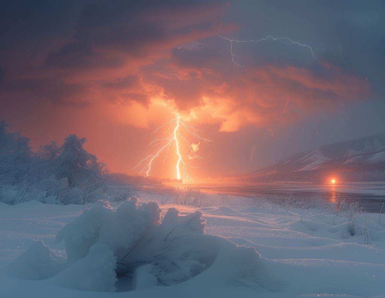
Where Lightning Meets Frozen Precipitation
When lightning appears alongside freezing temperatures, two primary weather engines are usually responsible: massive oceanic low-pressure systems or narrow inland moisture corridors.
In coastal areas, intense Nor'easters often develop explosive central pressure drops that exceed 24 millibars in 24 hours. This rapid bombogenesis draws cold continental air into direct friction with mild Atlantic waters, triggering strong vertical motion. Under full blizzard conditions, flashes of lightning illuminate swirling snow squalls while hurricane-force winds rattle power grids.
Inland, lake-effect snow regimes create a different thermodynamic engine. When Arctic air masses holding temperatures near 0°F (-18°C) rush across unfrozen Great Lakes waters sitting at 38°F to 42°F, the steep temperature gradient produces extreme low-level instability. Towering cumulus clouds erupt directly over the water, driving blinding snow bands inland that routinely produce localized lightning and thunder.
Planetary Waves and Why Coincidence Mimics Prophecy
Why has the belief in thunder preceding snow survived into modern times? The answer lies in the physics of global air patterns. The mid-latitude jet stream flows in sweeping undulating curves known as Rossby waves. These planetary waves consist of alternating crests (ridges of high pressure and warmer air) and troughs (depressions of low pressure and freezing air).
During winter across North America, these wave systems typically take 5 to 8 days to migrate from west to east. If a strong warm surge pulls humid air northward from the Gulf of Mexico, it can ignite elevated winter thunderstorms along the leading edge of a passing cold front.
Once that storm system passes, the jet stream locks into the trailing trough. As the pattern progresses, the next trough in line often arrives roughly a week later. If sufficient cold air remains pooled over the continent, that secondary system drops snow. The human brain connects the lightning from the initial front to the snowfall that arrives eight days later. It was not a mystical rule; it was just the normal transit time of the atmospheric wave train.
Frequently Asked Questions (FAQ)
Q1: Why does thundersnow sound so muffled and quiet compared to summer thunder?
A1: Falling snow acts as a powerful acoustic dampener. Fresh snow crystals contain abundant air pockets that absorb sound waves instead of reflecting them. While summer thunderclaps can travel up to 10 to 15 miles across warm air, the acoustic range of a thundersnow strike is often crushed down to less than 2 to 3 miles.
Q2: If I see thunder during a winter rainstorm, does it mean freezing temperatures will follow immediately?
A2: Not immediately, but usually soon. Winter thunder generally requires elevated warm air overriding a dense, colder surface layer or a surging cold front. Once the convective line pushes through, the incoming wind direction typically shifts to the north or northwest, pulling Arctic air behind the boundary within 12 to 24 hours.
Q3: How dangerous is thundersnow compared to an ordinary summer storm?
A3: Thundersnow is exceptionally hazardous, but for different reasons. While lightning flash density is lower in winter than in summer, cloud bases are often less than 1,000 feet, meaning cloud-to-ground strikes hit quickly with little visual warning. Furthermore, the intense convective updrafts that cause winter lightning routinely drop visibility to zero, generating whiteout blizzard conditions and snowfall accumulations exceeding 2 inches per hour.
Reading the Winter Sky Without the Superstition
Winter thunder provides unmatched atmospheric drama, yet treating it as a countdown to a winter storm misunderstands modern fluid dynamics. Thunder is an immediate measurement of instantaneous convective energy, not a seasonal clock.
Contemporary meteorological forecasting relies on high-resolution ensemble computer models like the ECMWF and GFS to track shifting arctic jet streams up to two weeks out. While old weather folklore gave early rural communities a helpful vocabulary for describing recurring synoptic rhythms, cold physics tells the real story. When thunder shakes the roof during a January night, keep your eyes on the radar in real time, the storm underway is far more dangerous than anything lurking ten days down the road.